The 3 Best Ways To Use Commercial Drones In The Archaeology Field
Archaeology usually involves a lot of digging and getting dirty as experts explore old sites to learn about past human life. But things are changing. Now, commercial drones are entering the playing field and changing how archaeologists work.
They allow archaeologists to see and give you access to large areas from the air in a fraction of the time it would take on the ground. Using drones is also cost-effective. They can collect a lot of data in a single flight, cutting down on the need for expensive and time-consuming ground surveys. In this article, we will go over several ways that drones can be used for archaeology.
1 – Surveys
Drones have become an essential tool for archaeological surveys because they provide several key advantages over traditional methods.
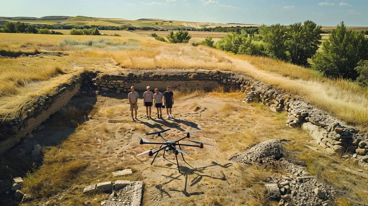
Commercial drones can easily reach and explore difficult or dangerous areas where traditional archaeological methods might be too risky or impossible. They can be flown over mountains, across rivers that are difficult to cross, or more remote areas.
They are also able to conduct these surveys in much less time. Surveying an entire site by foot could take days or even weeks. This saves a lot of money which is always in short supply when it comes to funds for archaeology.
Archaeological sites are fragile and can be damaged by human activity. Drones hover above the site, without the need for physical contact so they preserve the site’s integrity while still collecting valuable data and can provide important historical insights.
2 – Mapping
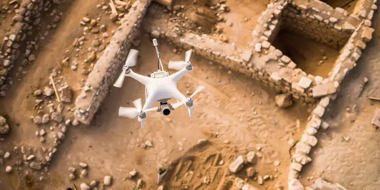
Mapping a site is one of the most important phases of an archaeological dig. And commercial drones make it much easier to complete this phase. They carry advanced cameras and sensors that capture detailed images from above.
Drones are excellent for building 3D models, not just flat maps. Using a method called photogrammetry, which combines images from different angles, drones can create detailed three-dimensional views of sites. These models provide a better understanding of how different parts of a site are connected, which can be hard to see with traditional maps.
3 – Excavation Planning
In excavation planning, it’s very important to have accurate and detailed information about the site. Drones help by taking high-quality pictures and gathering data from the air. This lets archaeologists see the whole area and decide the best places to dig without having to disturb the ground first.
Drones also make the planning process much quicker. Normally, planning an excavation involves a lot of ground work, like surveys and initial tests, which can take a lot of time. With drones, archaeologists can get a full view of the site quickly, cutting down on the time and effort needed to start digging.
Drones are useful for keeping an eye on the excavation as it happens. They can fly over the site regularly to take pictures of the progress. Archaeologists can then make changes to their plan on the fly if they come across something unexpected.